Return to blog

Fleet Management

What is geofencing, and how does it help with fleet management?

Photograph of a highway with two trucks driving past each other in separate lanes.

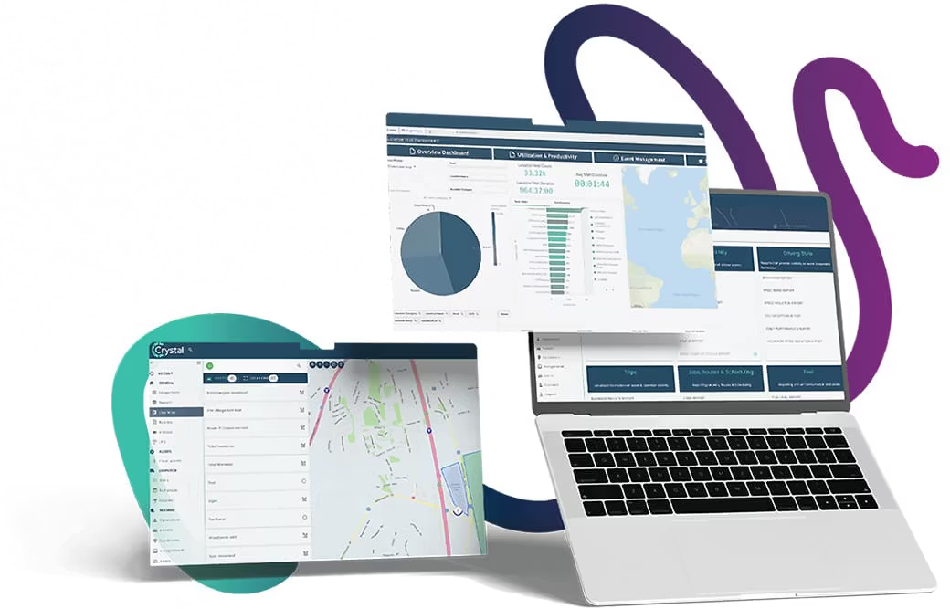
A geofence is a virtual boundary that works with your GPS fleet management software to detect when assets move in and out of designated zones, or a geographical location.

It’s often used by fleet managers when reporting on a range of fleet activities, including:

  • Start and stop times on a job site
  • Deliveries or pickups at customer sites
  • Unauthorised visits to no-go zones
  • Compliance with local ordinances
  • Unauthorised activity outside of working hours
  • Removal or return of company assets
  • Frequency of visits to a given location

Fleet managers can create custom geofenced areas on a map, which are of particular interest to the business. The geofence can be any shape, such as a polygon, or a radius around a point on the map. Rules can be set up that determine when and how the fence is activated, or even connected to an API that uses the data for another location-based service.

30+ years of fleet tracking success

How does a geofence work?

A geofence behaves in a similar way to a literal fence. This virtual fence marks a physical location, or geographic boundary, as important to the business. It can monitor movement of assets — trucks, cars, tools, cargo or construction equipment — in and out of an area, recording when it happens, and, if needed, triggering other actions.

For example, if a telehandler was removed off a geofenced work site outside of authorised hours, a rule could trigger a notification to a security service, or if the equipment was equipped with remote disabling, it could be shut down.

The technology that makes it possible is the Global Positioning System (GPS) that tracks the real-time location of an asset. This information is relayed immediately via cellular data to a cloud-based internet service that tracks the asset’s location coordinates (latitude and longitude) on a map. If the asset crosses a geofence, a system alert is triggered.

The alert can simply record the asset’s movements for reporting purposes, or it can generate additional actions as needed. Activity inside a geofenced area, or geozone, can also be monitored, such as when construction equipment starts or stops.

Some geofences work using local beacons that track the movement of assets with RFID tags or Bluetooth, and connect via a local Wi-Fi network. This is generally for monitoring smaller assets, like hand-held construction tools, on work sites.

Other real-world applications of this include location-based marketing (also called geofencing marketing) that uses location data from nearby customers, inside a virtual perimeter or sports event, to target them with a specific marketing strategy, such as instant coupons, to download a mobile app, or opt-in to a rewards programme. The customer’s location may be determined by their IP address, or their location shared on an app like Google Maps or social media.

How can geofences help your business?

Geofences are not just a useful reporting tool, they can improve asset security and customer billing.

Improve asset security — Like a literal fence, geofences can be used to make sure any unauthorised asset use is prevented, or security services alerted with push notifications or text messages to a mobile device. The specific location of a stolen asset can be relayed to law enforcement for faster recovery.

Better billing / improved customer experience — Geofences are an automated history that clearly shows how long assets were at a customer site. This can be used to accurately invoice for rental equipment used, how long a job took, better pricing accuracy for job quotes, or confirmation of a delivery or pickup.

Productivity — Minimise tools or equipment straying from construction sites and causing hold-ups as workers spend time looking for them. You can also monitor teams to make sure excessive time isn’t being wasted at non-work sites.

Compliance — Make sure work teams are obeying local laws on allowed hours for construction during the day. Thermostat sensors for frozen cargo that exceed the recommended temperatures while unloading at a customer site could indicate problems with the delivery process.

Saves time — Combining geofences and rules allows automated management of fleet processes such as use of company vehicles, start and stop times, congregating of mobile workers, supervisors on the job site, or delivery/service confirmation.

More insightful reporting — Use of geofencing can include improving your reporting analysis. For example, you may want to review vehicle idling in a specific area, and check if this is a problem that needs to be addressed, or if workers are visiting prohibited areas, and human resources needs to get involved.

Basically, geofencing technology helps you manage your mobile workforce using automation functionality. Monitoring of teams and equipment as they move between job sites, or any geographic area, and provide supervisors with the relevant data to help them manage more effectively.

If you need any assistance setting up geofences, or reviewing the benefits of geofencing for your fleet, then contact our support team, or refer to the help documentation in your GPS fleet management application.

Talk to our experts!

Boost fleet operations, reduce running costs and improve safety and security today.

Inseego